

Angle calculator
English screenshots coming: some of the pictures below still show the receiver and the web interface in Romanian. The rows, keys and steps described on this page are the English ones.
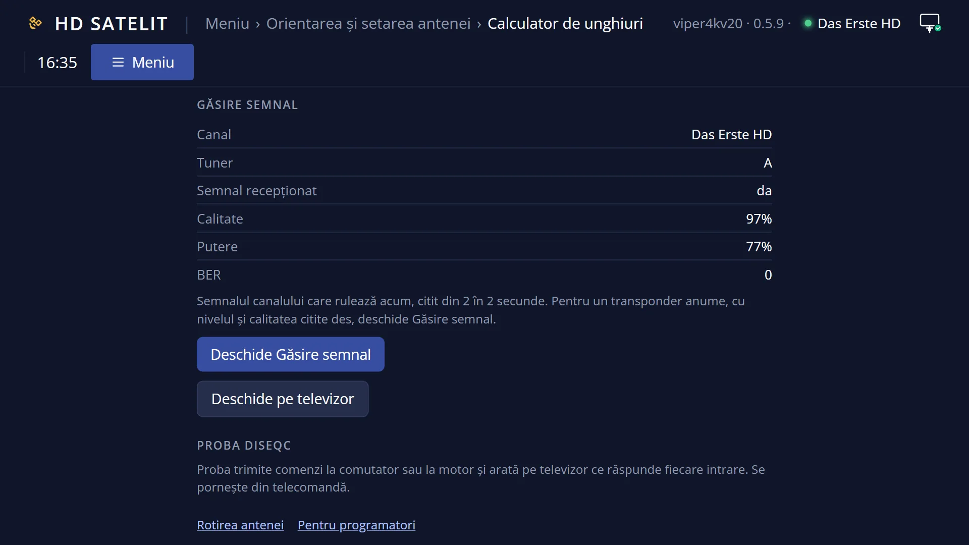
What it is for
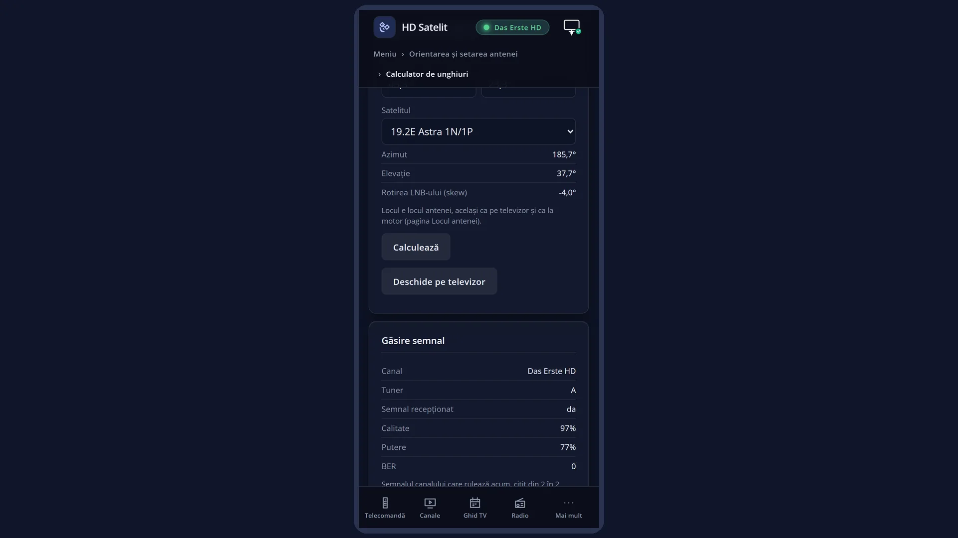
“Angle calculator” tells you where to point your dish for your location and a chosen satellite: the azimuth (the direction, as on a compass), the elevation (how high) and how far to turn the LNB in its holder (skew).
It is only a calculator: it does not move the dish and does not change anything on the receiver. You turn a motorised dish from “Dish rotation”. You point a fixed dish by hand, using the figures shown here, and you do the fine adjustment with “Signal finder”.
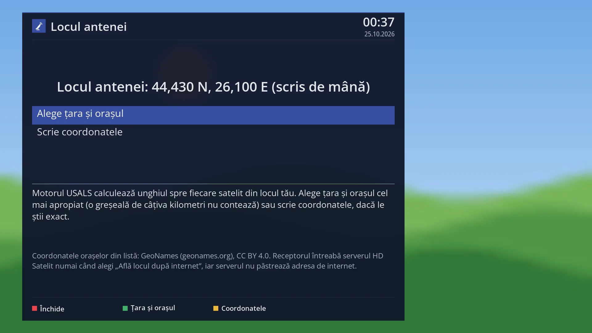
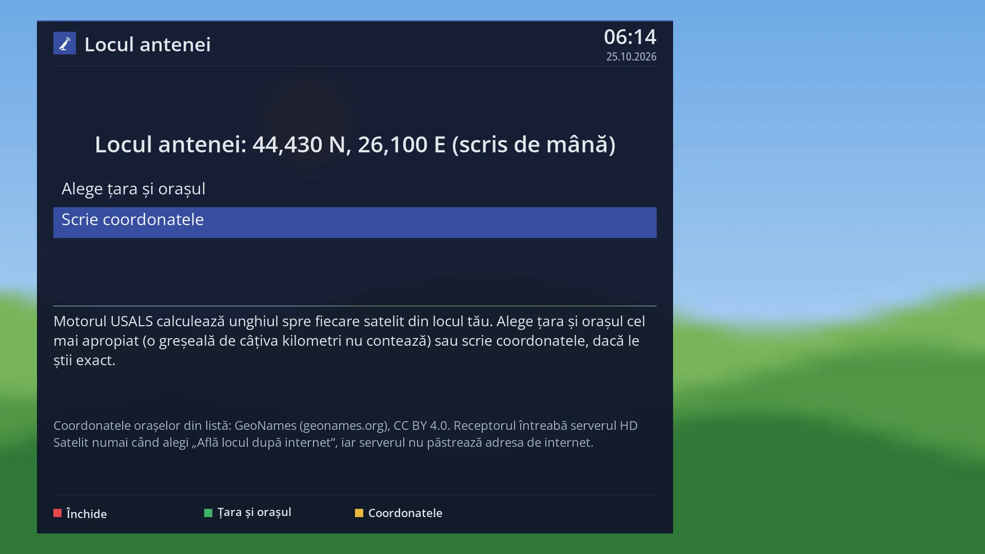
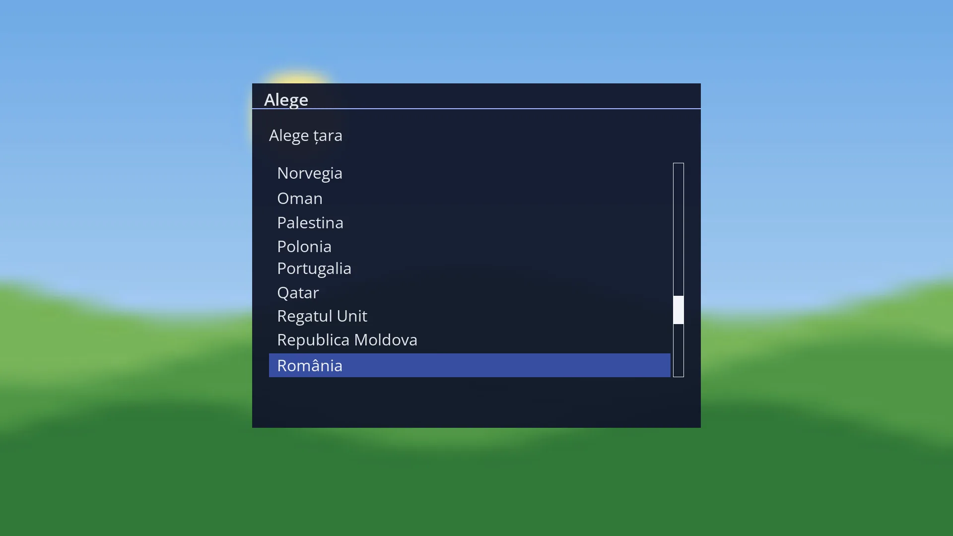
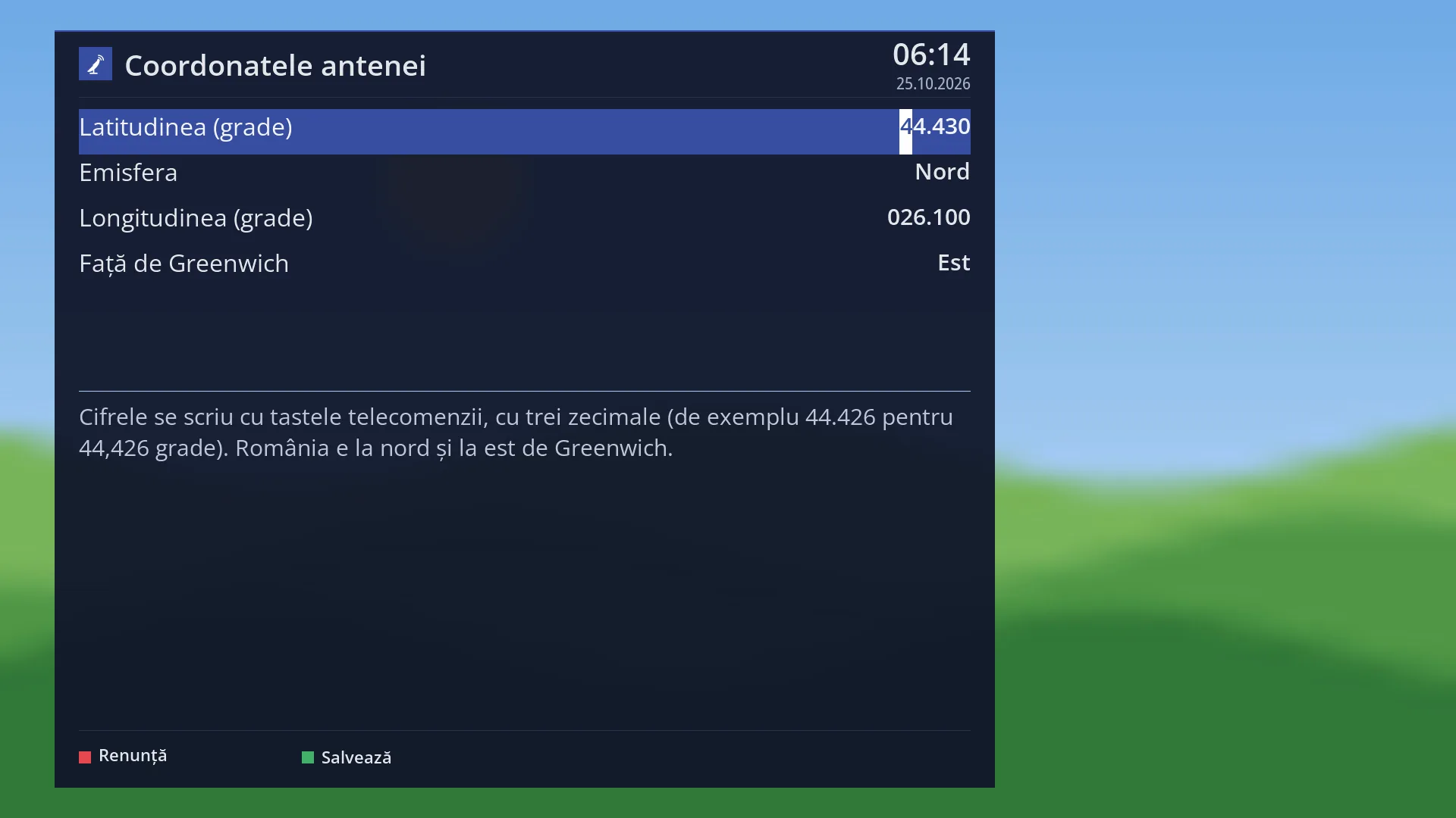
The location used is the dish location, the same one the USALS motor uses. You can change it directly from here (OK on the first row) by choosing the country and city or by entering the coordinates.
You change the satellite with the YELLOW and BLUE keys. They go through all the satellites in the receiver's list, from west to east, and the figures are calculated straight away.
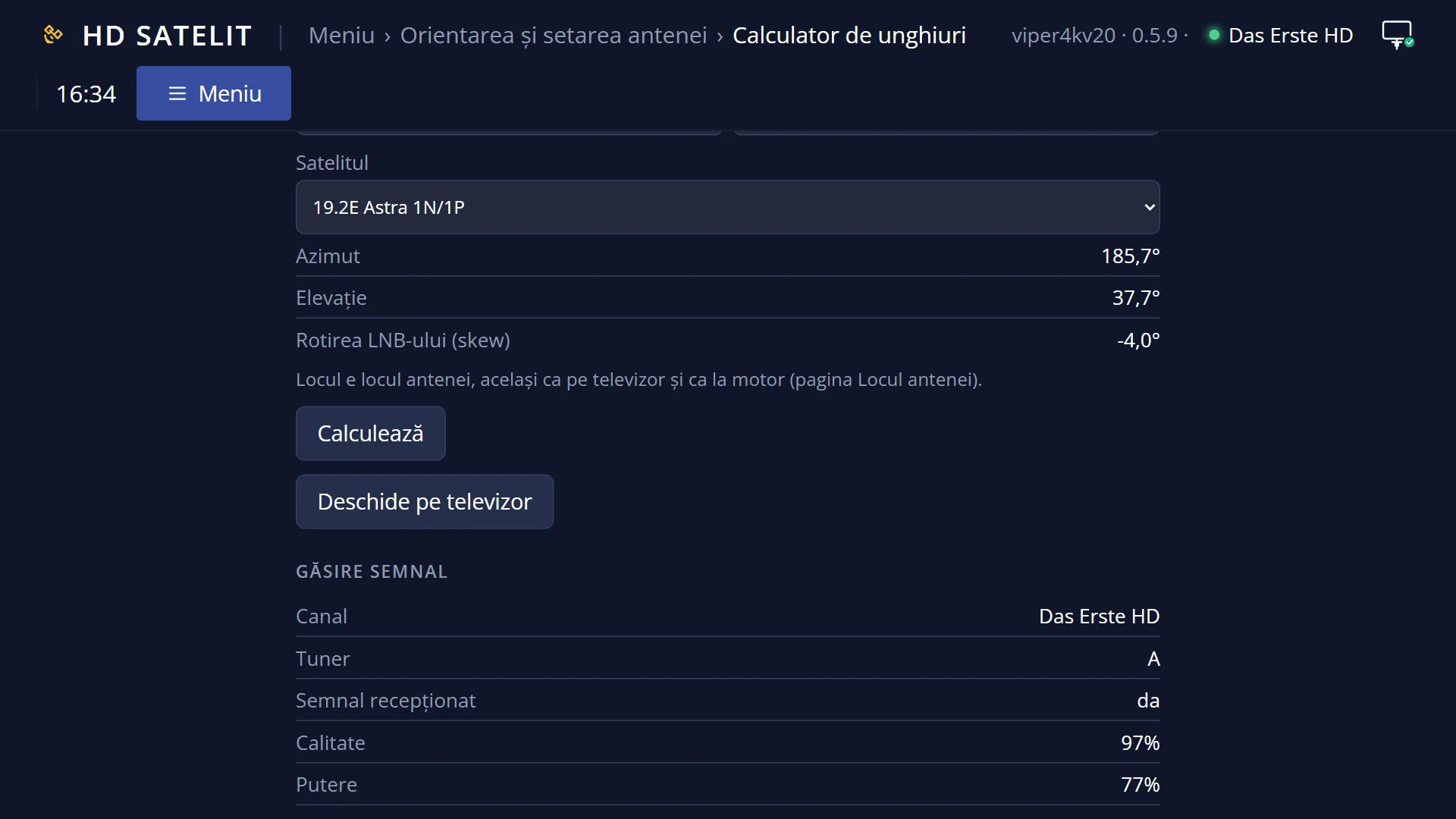
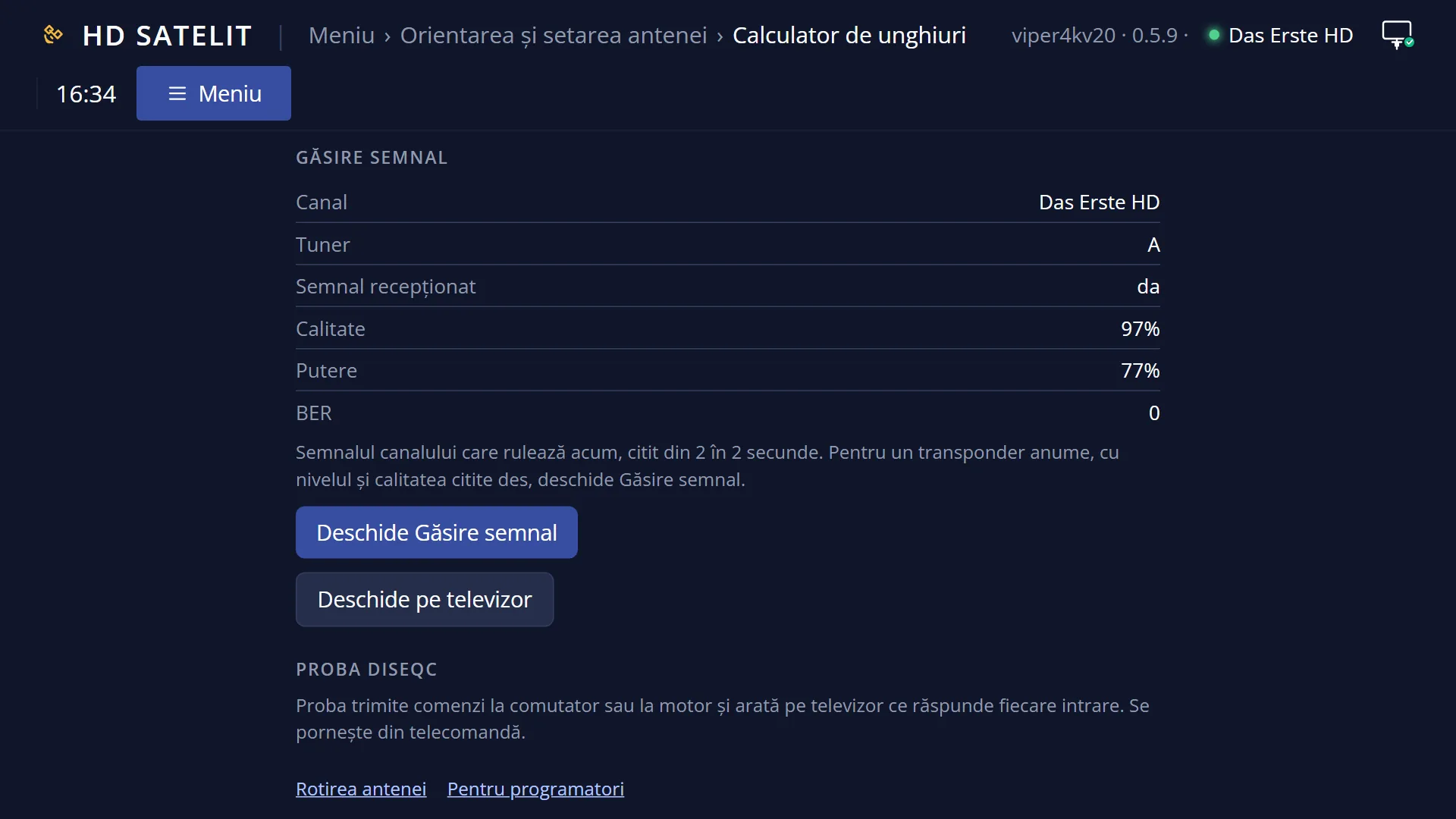
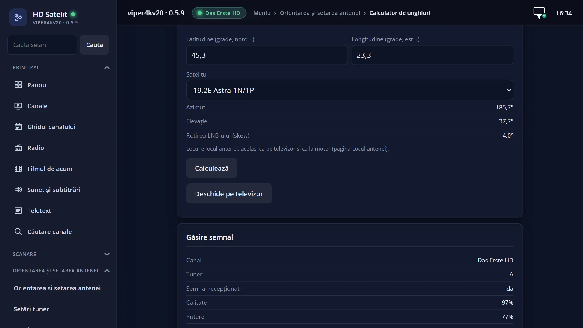
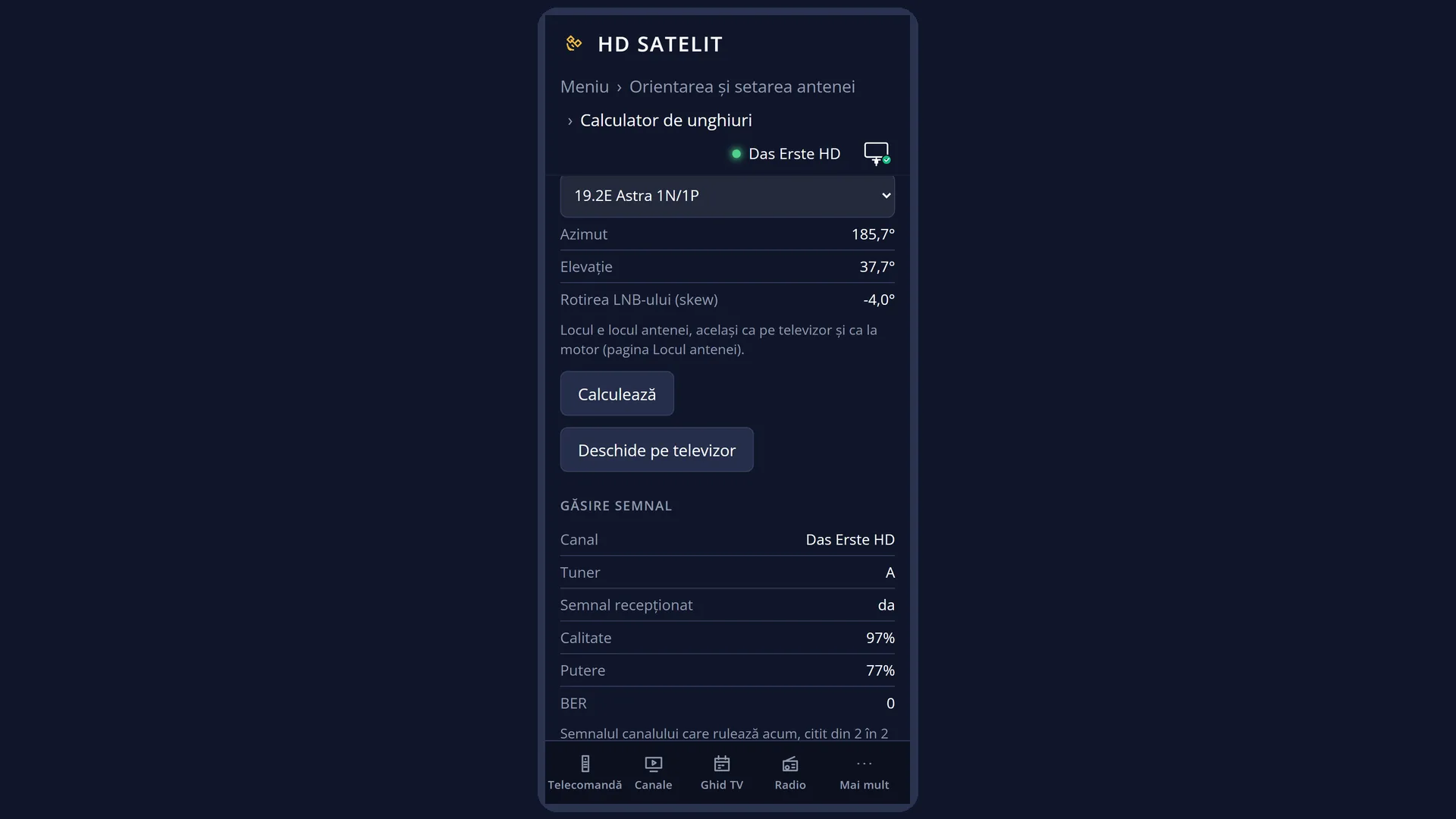
The same calculation is also in the web interface, on the /antena page, on the “Angle calculator” card. There you can also try a different location without saving it.
How to get here
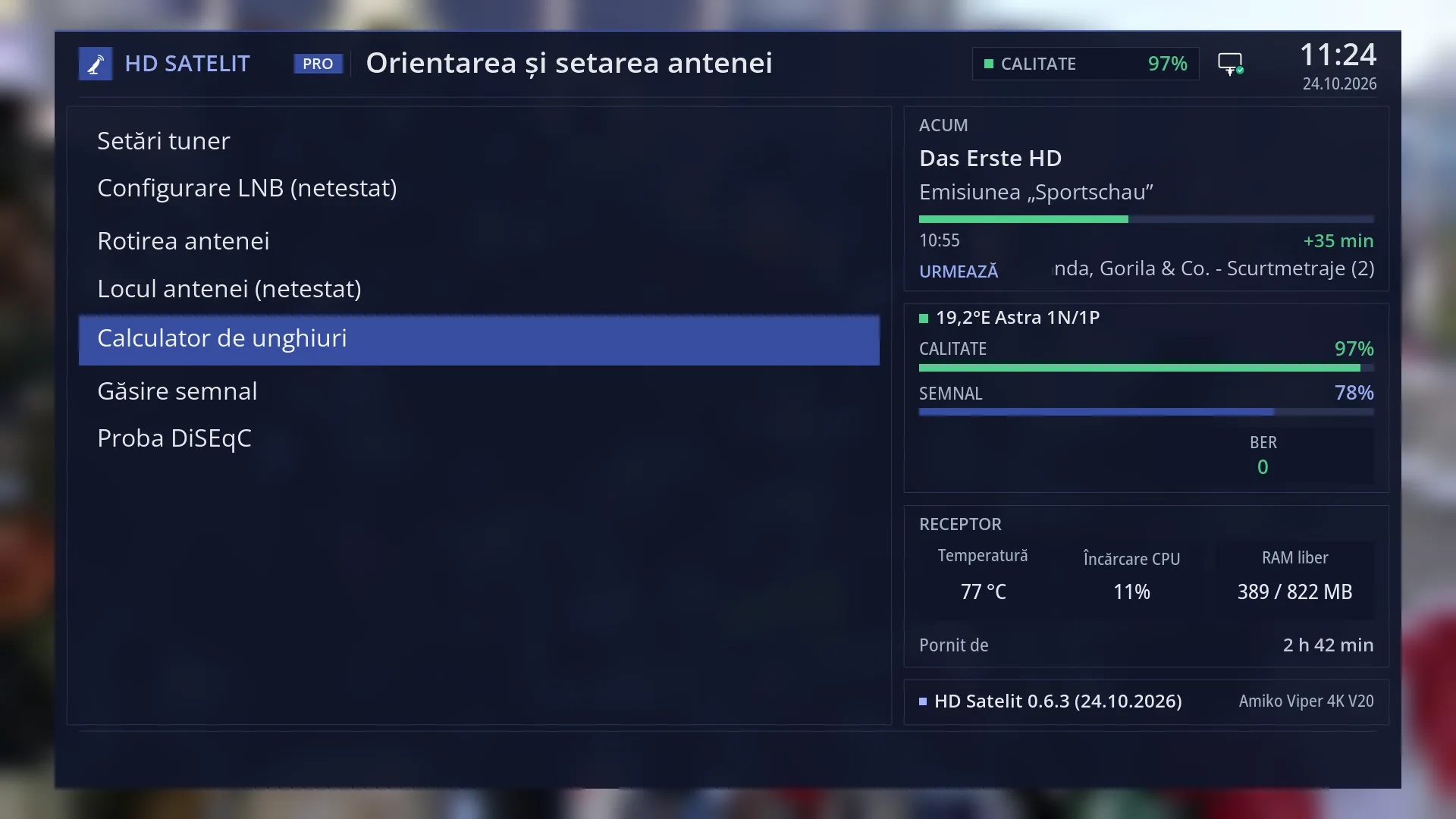
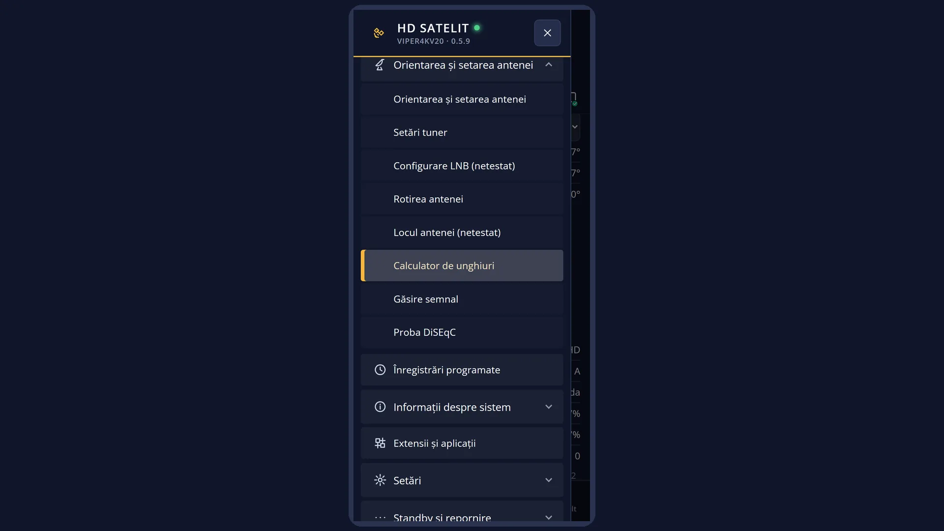
Path: Main menu > Dish alignment and setup > Angle calculator
Keys on the TV: MENU 2 5
In the web interface: the /antena/calculator page, which is the /antena page with the “Angle calculator” card highlighted.
What you see on the screen
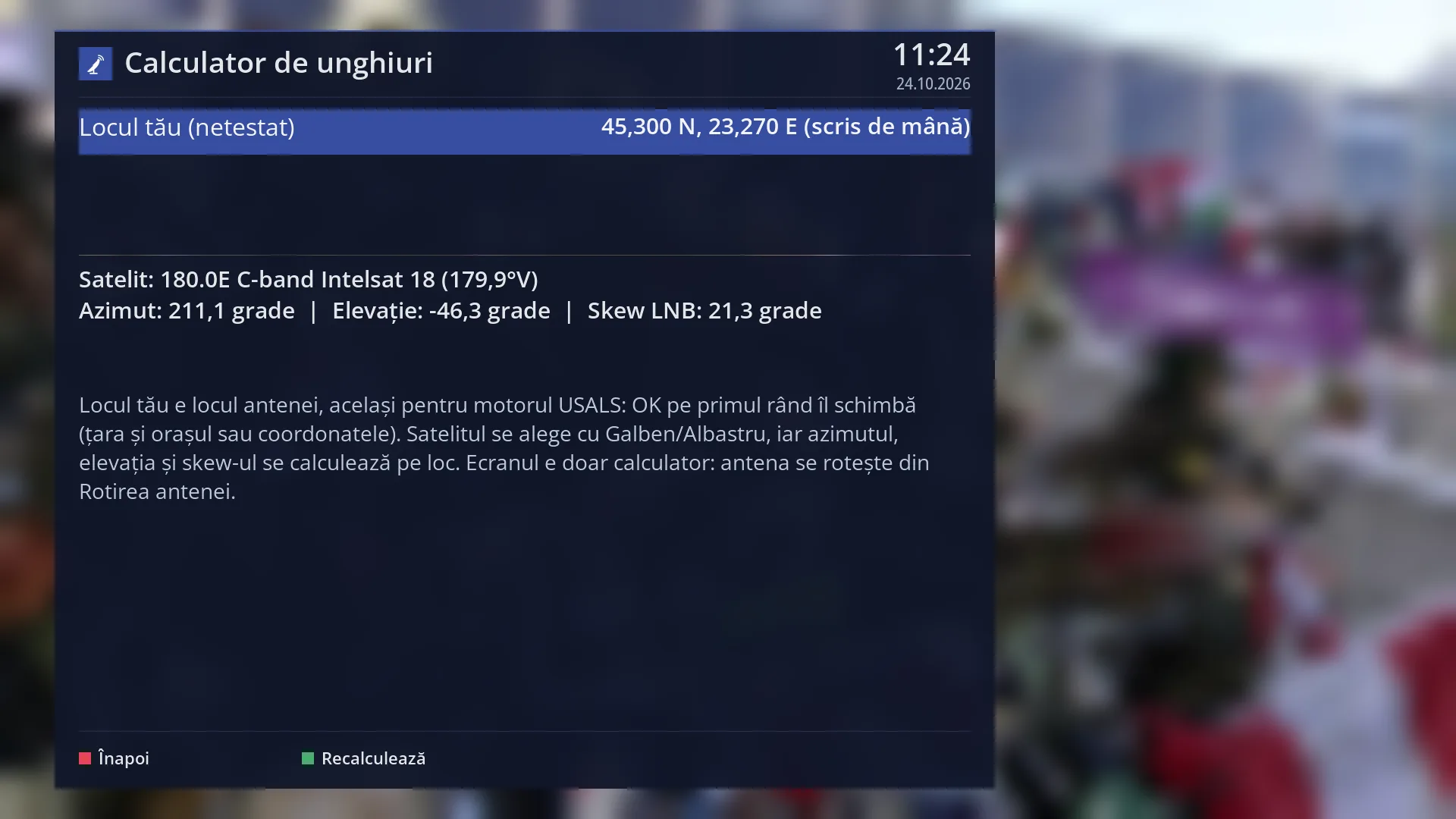
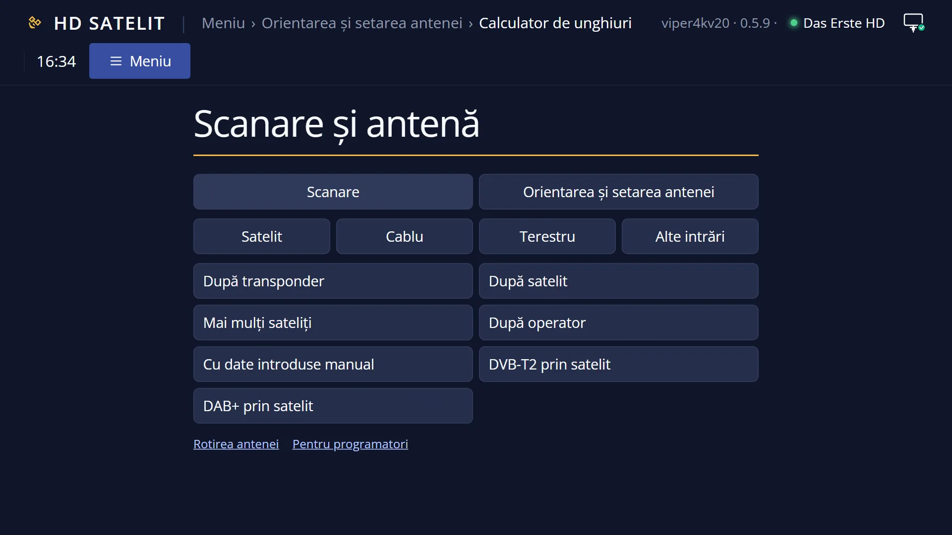
At the top: the title “Satellite angle calculator”, the time and the date. In the Pro theme, there is a blue square with the logo to the left of the title.
The first row, “Your location (not tested)”, shows the dish location on the right: the city and country with the coordinates, for example “Bucharest, Romania (44.43 N, 26.11 E)”, coordinates “(entered by hand)”, “(from the previous tuner settings)” or “not set”.
Below the line is the result, in bold: “Satellite: …” with the name and position of the satellite, and under it “Azimuth: … degrees | Elevation: … degrees | LNB skew: … degrees”. If no location is set, it shows “The dish location is not set. Press OK and choose the country and the city.”.
Underneath is the screen guide: the location is the dish location, you choose the satellite with Yellow/Blue, and the screen is only a calculator.
At the bottom are the RED “Back” and GREEN “Recalculate” keys (in the Romanian interface they appear without diacritics). YELLOW and BLUE work too, although they have no label on the screen.
Rows and settings
| Row | Values | Default | What it does |
|---|---|---|---|
| Your location (not tested) | a city from the table, with its coordinates, coordinates entered by hand, the location found via the internet, not set | the dish location, if set; otherwise “not set” | The location from which the angles are calculated. It is the same location the USALS motor uses to turn the dish. The “(not tested)” mark shows that choosing the location from here has not yet been tested on the receiver. When the location shown is not yours or it says “not set”. |
| Satellite | all the satellites in the receiver's list, from the westernmost to the easternmost | the first in the list, the westernmost | The satellite the calculation is for. YELLOW goes to the previous satellite (towards the west), BLUE to the next one (towards the east). After the last one, it starts again from the beginning. Every time: choose the satellite you want to point your dish at. |
| Azimuth | degrees, from 0 to 360: 0 north, 90 east, 180 south, 270 west | The direction the dish faces, as on a compass. In Romania, the satellites at 19.2°E are almost due south. | |
| Elevation | degrees above the horizon | How high the satellite is in the sky. A negative elevation means the satellite is below the horizon from your location, so it cannot be received. | |
| LNB skew | degrees, with a sign | How far you turn the LNB in its holder from the upright position, so that the polarisation lines up correctly. The sign tells you the direction. |
Keys
| OK | Opens the “Dish location” screen, where you choose the country and city or enter the coordinates. |
| YELLOW | The previous satellite (towards the west). The key has no label on the screen. |
| BLUE | The next satellite (towards the east). The key has no label on the screen. |
| GREEN | “Recalculate”: calculates the figures again (they change by themselves anyway with each new satellite or location). |
| RED or EXIT | “Back”: closes the screen and takes you back to the dish menu. Nothing is saved, because the screen does not change anything. |
Step by step
Find out where to point your dish for a satellite
- Press MENU 2 5.
- Check your location on the first row. If it says “not set” or shows a different location, press OK, choose the country and city and go back.
- Press BLUE (or YELLOW) until the satellite you want appears, for example “19.2°E”.
- Note down the azimuth, elevation and skew. Point the dish using a compass and a protractor, then fine-tune the signal in Signal finder (MENU 2 6).
Find out whether a satellite is visible from your location
- Choose the satellite with YELLOW or BLUE.
- If the elevation is negative or very small (below a few degrees), the satellite is below the horizon or too low to be received.
Calculate from your phone
- Open the receiver's web interface and go to /antena/calculator.
- Choose the satellite from the list (with a fixed dish, its satellites come first, under “On your dish”). The azimuth, elevation and LNB rotation appear below the list. For a satellite below the horizon, it shows “The satellite is below the horizon from this location.”.
- For a different location, enter the latitude and longitude (in degrees, north and east positive) and press “Calculate”. The location saved on the receiver does not change.
Problems and solutions
It says “The dish location is not set. Press OK and choose the country and the city.”
Press OK on “Your location” and choose the country and city (or enter the coordinates). The motor uses the same location.
The elevation is negative.
The chosen satellite is below the horizon from your location. Choose another satellite with YELLOW or BLUE. The screen starts from the westernmost satellite, which usually cannot be seen from Europe.
I cannot find the keys for the satellite.
You change the satellite with YELLOW and BLUE, even though only the red and green keys appear on the screen.
The dish does not move after I choose the satellite.
The calculator does not move the dish. With a motor, turn the dish from Dish rotation (MENU 2 3). You point a fixed dish by hand.
The figures do not match the dish that already works.
Check the location on the first row: a wrong city changes the azimuth. A few tenths of a degree do not matter. The fine adjustment is done by the signal, in Signal finder.
Related topics
- Dish location
- Dish rotation (the motor)
- Signal finder (fine adjustment)
- Dish alignment and setup
- Matching web page: /antena/calculator.